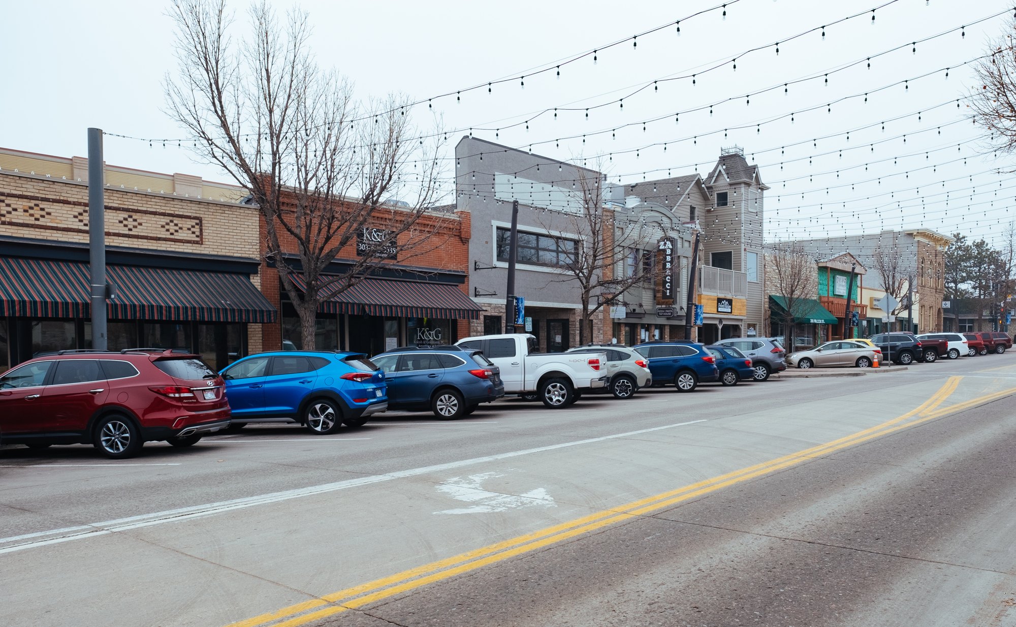
Wilcox Street in downtown Castle Rock (2018-02-09 09:37:29)

Outdoors

Horseback riding near Castle Rock

Trails and recreation areas near Castle Rock open to horseback riding, including horse camps.

8places to ride horses
14 mito the closest
3within 30 miles
August–Junebest months

Good to know: Check trailer parking and stock water at the trailhead, and whether certified weed-free hay is required.

Closest picks

1

Indian Creek Equestrian Campground

14 mi west · USDA Forest Service

Please Note: Must be in possession of a horse in order to camp in the equestrian campground. The Indian Creek Equestrian Campground is an ideal camping site for avid horseback riders looking to explore the Indian Creek Equestrian Trail.
2

Chatfield Lake

17 mi northwest · US Army Corps of Engineers

Chatfield Dam, located southwest of Denver on the South Platte River, was the second of three dams built to protect the Denver region from floods.

3

Bear Creek Lake

24 mi northwest · US Army Corps of Engineers

Bear Creek Dam, the last of three dams built to protect the Denver region from floods, is located on the southwest edge of suburban Lakewood at the confluence of Bear Creek and Turkey Creek.

Map of all 8 places

Map of 8 places loads as you scroll.

Within 30 miles (3)

14 mi west · USDA Forest Service · Campground

Indian Creek Equestrian Campground

Please Note: Must be in possession of a horse in order to camp in the equestrian campground. The Indian Creek Equestrian Campground is an ideal camping site for avid horseback riders looking to explore the Indian Creek Equestrian Trail.

  • Camping
  • Fishing
  • Hiking
  • Horseback riding
  • Hunting

17 mi northwest · US Army Corps of Engineers

Chatfield Lake

Chatfield Dam, located southwest of Denver on the South Platte River, was the second of three dams built to protect the Denver region from floods.

  • Biking
  • Boating
  • Camping
  • Fishing
  • Hiking
  • Horseback riding
  • Picnicking
  • Water sports

24 mi northwest · US Army Corps of Engineers

Bear Creek Lake

Bear Creek Dam, the last of three dams built to protect the Denver region from floods, is located on the southwest edge of suburban Lakewood at the confluence of Bear Creek and Turkey Creek.

  • Biking
  • Boating
  • Camping
  • Fishing
  • Hiking
  • Horseback riding
  • Hotel/Lodge/Resort Privately Owned
  • Picnicking

30 to 75 miles (5)

39 mi southwest · National Park Service

Florissant Fossil Beds National Monument

Beneath a grassy mountain valley in central Colorado lies one of the richest and most diverse fossil deposits in the world.

  • Hiking
  • Horseback riding

60 mi south · Bureau of Land Management

Seep Springs OHV Area

Seep Springs Recreation Area is located near Canon City offering fun and challenging trails combined with outstanding views.

  • Horseback riding
  • Off-highway vehicles

67 mi south · Bureau of Land Management

Gold Belt Tour Back Country Byway

The Gold Belt Tour Back Country Byway retraces the historic travel routes for the World’s Greatest Gold Camp, Cripple Creek. Travel on a historic, narrow-gauge railroad bed, an old stage road, and a county road on the Byway.

  • Biking
  • Camping
  • Climbing
  • Fishing
  • Hiking
  • Horseback riding
  • Hunting
  • Picnicking

68 mi northwest · Bureau of Land Management

Strawberry

The Strawberry area includes approximately 8 miles of Single-track, non- motorized trails that are collectively known as the Phases.

  • Biking
  • Camping
  • Hiking
  • Horseback riding
  • Hunting

73 mi southwest · USDA Forest Service

Pike and San Isabel National Forests & Cimarron and Comanche National Grasslands

Peaks to Prairies - Tracks to Trails Pike and San Isabel National Forests & Cimarron and Comanche National Grasslands ( forest locator map ) cover nearly 3 million acres, between the prairies of western Kansas and some of Colorado's…

  • Biking
  • Boating
  • Camping
  • Climbing
  • Fire Lookouts/Cabins Overnight
  • Fishing
  • Hiking
  • Horse Camping

Distances are straight-line miles from downtown Castle Rock. Listings come from Recreation.gov’s federal recreation database; check each official page for hours, fees, fire restrictions and closures before you go.

Get outside around Castle Rock

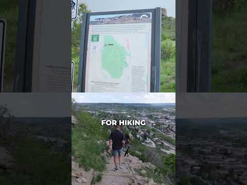
Hiking up to the Rock video thumbnail

THINGS TO DO · YOUTUBE SHORT

Hiking up to the Rock

The short climb in Rock Park toward the butte that gives the town its name, with views over downtown. A Short shared by Espi Agency | Colorado Real Estate.

Watch on YouTube ↗
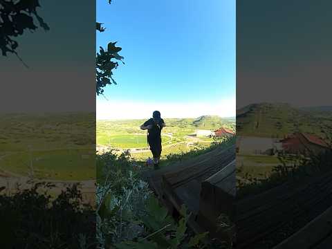
Challenge Hill at Philip S. Miller Park video thumbnail

THINGS TO DO · YOUTUBE SHORT

Challenge Hill at Philip S. Miller Park

Climbing Challenge Hill, the steep staircase nicknamed the miniature incline, at Philip S. Miller Park. A Short shared by DadandAshton.

Watch on YouTube ↗

More outdoors near Castle Rock

Questions

Where is the closest place for horseback riding near Castle Rock?

Indian Creek Equestrian Campground (USDA Forest Service), about 14 miles west of Castle Rock as the crow flies. Next are Chatfield Lake (17 mi) and Bear Creek Lake (24 mi).

When is the best time for horseback riding near Castle Rock?

Based on Castle Rock’s average highs, August–June. Conditions at higher elevations can be much cooler.

Who manages these places?

Federal agencies including Bureau of Land Management, USDA Forest Service, US Army Corps of Engineers. Each listing links to its official page for hours, fees, closures and current conditions.

Castle Rock AI

Your Castle Rock local guide
Hey there!

I'm Castle Rock AI. Ask about neighborhood food, independent shops, local history or planning a visit.

AI recommendations may be inaccurate. Verify hours and prices. Questions are processed by Cloudflare. Privacy