Chatfield Lake
17 mi northwest · US Army Corps of Engineers
Chatfield Dam, located southwest of Denver on the South Platte River, was the second of three dams built to protect the Denver region from floods.
Outdoors
Lakes, reservoirs and rivers near Castle Rock for boating, kayaking, canoeing and paddleboarding.
Good to know: Life jackets are required for children on most waters, and many lakes require an invasive-species inspection or a launch fee.
17 mi northwest · US Army Corps of Engineers
Chatfield Dam, located southwest of Denver on the South Platte River, was the second of three dams built to protect the Denver region from floods.
19 mi north · US Army Corps of Engineers
Cherry Creek Dam, located at the southeast edge of Denver in Aurora, CO, was the first of the three dams to be built to protect the Denver region from catastrophic South Platte River floodwaters that plagued the area for more than 100…
22 mi southwest · USDA Forest Service
Lone Rock Campground, located along the South Platte River, boasts spectacular views and top-notch fly fishing waters. Hikers thoroughly enjoy the nearby Gill Trail and kayakers are drawn to the rapids of the rushing river.
Map of 15 places loads as you scroll.
Chatfield Dam, located southwest of Denver on the South Platte River, was the second of three dams built to protect the Denver region from floods.
Cherry Creek Dam, located at the southeast edge of Denver in Aurora, CO, was the first of the three dams to be built to protect the Denver region from catastrophic South Platte River floodwaters that plagued the area for more than 100…
Lone Rock Campground, located along the South Platte River, boasts spectacular views and top-notch fly fishing waters. Hikers thoroughly enjoy the nearby Gill Trail and kayakers are drawn to the rapids of the rushing river.
Bear Creek Dam, the last of three dams built to protect the Denver region from floods, is located on the southwest edge of suburban Lakewood at the confluence of Bear Creek and Turkey Creek.
Colorado Campground is a favorite family destination near Manitou Lake Picnic Area north of the town of Woodland Park. A short trail leads to the lovely lake, where visitors enjoy fishing, bird watching and canoeing.
Manitou Lake Picnic Area, is located 7 miles north of Woodland Park, Colorado,. The Manitou Lake Pavilion is located inside the picnic area and is a wonderful group day use picnic area for groups up to 50 people.
Painted Rocks Campground is located a short distance from Manitou Lake Picnic Area and the Centennial Bike Trail in central Colorado.
Developments include 5 campgrounds with 151 campsites and 3 boat-launch ramps. A concession-operated public marina located at the north end of the lake (970.667.1062).
Pinewood Lake is located about 12 miles southwest of Loveland, Colorado. The Lake and Dam are a small part of the Colorado-Big Thompson Project , one of the largest and most complex ever constructed by Reclamation.
Peaks to Prairies - Tracks to Trails Pike and San Isabel National Forests & Cimarron and Comanche National Grasslands ( forest locator map ) cover nearly 3 million acres, between the prairies of western Kansas and some of Colorado's…
Lake Estes, a feature of the Colorado-Big Thompson Project , is formed by Olympus Dam constructed across the Big Thompson River.
Granby Dam and Lake Granby, features of the Colorado-Big Thompson Project are on the Colorado River near Granby, Colorado. Developments include 260 campsites and 3 boat-launch ramps.
Recreation at Pueblo Reservoir is managed by the Colorado State Parks under agreement with the Bureau of Reclamation, Eastern Colorado Area Office, Loveland, Colorado.Pueblo Reservoir was created by Pueblo Dam which crosses the Arkansas…
Shadow Mountain Dam and Reservoir, Colorado-Big Thompson Project , are on the Colorado River below its confluence with the Grand Lake outlet. Developments include 1 campground with 80 campsites and 2 boat-launch ramps. Good access exists.
Willow Creek, a tributary on the Colorado River near Granby, Colorado, is diverted by Willow Creek Dam and Canal, features of the Colorado-Big Thompson Project.
Distances are straight-line miles from downtown Castle Rock. Listings come from Recreation.gov’s federal recreation database; check each official page for hours, fees, fire restrictions and closures before you go.
THINGS TO DO · YOUTUBE SHORT
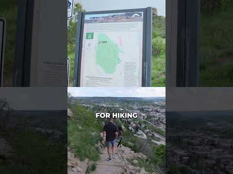
The short climb in Rock Park toward the butte that gives the town its name, with views over downtown. A Short shared by Espi Agency | Colorado Real Estate.
Watch on YouTube ↗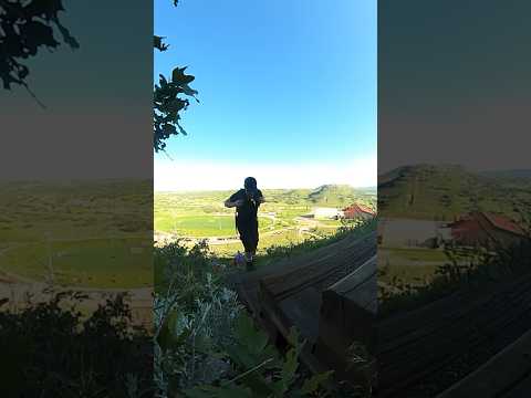
THINGS TO DO · YOUTUBE SHORT
Climbing Challenge Hill, the steep staircase nicknamed the miniature incline, at Philip S. Miller Park. A Short shared by DadandAshton.
Watch on YouTube ↗Chatfield Lake (US Army Corps of Engineers), about 17 miles northwest of Castle Rock as the crow flies. Next are Cherry Creek Lake (19 mi) and Lone Rock Campground (Co) (22 mi).
Based on Castle Rock’s average highs, May–September. Conditions at higher elevations can be much cooler.
Federal agencies including Bureau of Reclamation, USDA Forest Service, US Army Corps of Engineers. Each listing links to its official page for hours, fees, closures and current conditions.